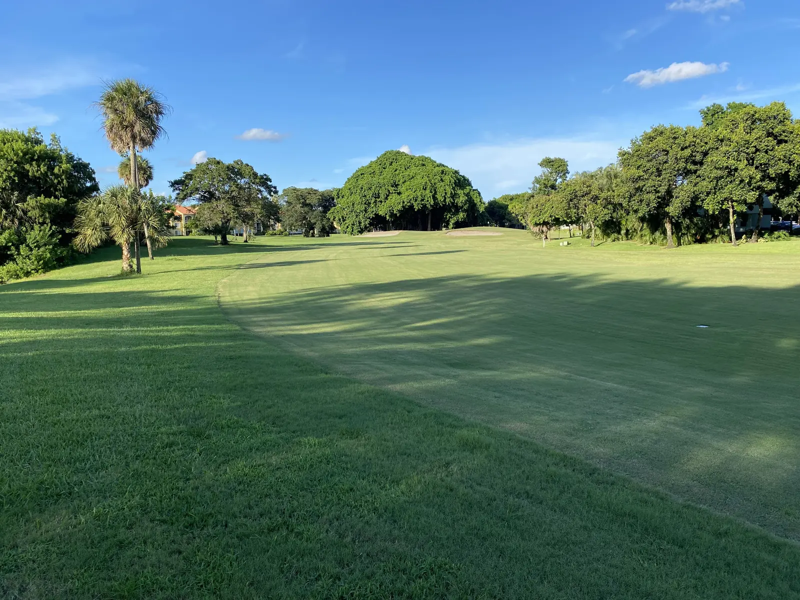
Palm Aire, about 1,706 acres between Atlantic Boulevard and McNab Road in ZIP 33069, is the largest area in this guide, set around golf courses.
Last checked Oct. 10, 2026. Sources: the City of Pompano Beach neighborhoods map (PDF), the Broward County Property Appraiser’s neighborhood layer, Broward County’s address points, school boundaries and parks layer, the Florida Department of Education’s 2026 school grades, Zillow Research, Broward County Transit and OpenStreetMap.
Palm Aire is the southwest corner of Pompano Beach and the largest area in this guide, about 1,706 acres between Atlantic Boulevard and McNab Road. It is laid out around golf courses, with a city community center and its own shopping on Pompano Parkway and SW 36th Avenue. City Hall is about 4.3 miles away by road.
What this means for you
- Zoned high school: Blanche Ely High for 96% of addresses, a C school in Florida’s 2026 grades. Check yours with the district’s Find My School tool.
- Home value: $231,728 in ZIP 33069 in August 2026, according to the Zillow Home Value Index.
- Nearest highway exit: Florida’s Turnpike exit 66, Atlantic Boulevard, about 3 miles by road. I-95 exit 33, Cypress Creek Road, is about 3.6 miles.
Part of our Pompano Beach neighborhoods guide.
Where it is
The city’s neighborhoods map, drawn by the Development Services Department, labels the area Palm Aire. Its edges:
- North: Atlantic Boulevard, with Island Club and Collier City across it
- South: McNab Road, with Fort Lauderdale beyond
- East: Powerline Road, with Arvida-Pompano Park and Cypress Bend across it
- West: the city line, running on a diagonal, with Coconut Creek beyond
The Broward County Property Appraiser’s Palm Aire outline covers about 1,706 acres. Broward County’s address data has about 795 street addresses in it, 378 of them with unit numbers, all in ZIP code 33069.
Schools
How the area’s addresses fall in Broward County’s 2025-26 school boundary layers, updated March 2026, with each school’s 2026 grade from the Florida Department of Education. The percentage is the share of possible points the school earned.
| Level | School | Share of addresses | 2026 grade |
|---|---|---|---|
| Elementary | Cypress Elementary, 851 SW 3rd Ave. (report card) | 96% | A (66%) |
| Elementary | Charles Drew Elementary, 1000 NW 31st Ave. (report card) | 4% | A (65%) |
| Middle | Pompano Beach Middle, 310 NE 6th St. (report card) | 96% | B (63%) |
| Middle | Crystal Lake Middle, 3551 NE 3rd Ave. (report card) | 4% | B (60%) |
| High | Blanche Ely High, 1201 NW 6th Ave. (report card) | 96% | C (57%) |
| High | Coconut Creek High, 1400 NW 44th Ave., Coconut Creek (report card) | 4% | C (59%) |
No public school is inside the area; the zoned schools are about 3 to 4 miles east in a straight line. The smaller zones cover about 30 addresses in the northern corner, near NW 32nd and NW 33rd avenues. Blanche Ely High earned an A in 2025 and reported a 95% graduation rate for 2024-25. Confirm an address with the district’s Find My School tool. More in our schools guide.
Home values
The typical home value in ZIP 33069 was $231,728 in August 2026, down 6.2% from $246,951 in August 2025, according to the Zillow Home Value Index. The index is a modeled typical value for the middle third of homes, single-family homes and condos together, not a sale price. It covers the whole ZIP code, which also includes Collier City. It was the lowest value and the largest drop of the four Pompano Beach ZIP codes. The citywide Pompano Beach figure was $351,953, down 1.9% on the year. More in our home prices guide.
Parks and trails
- Herb Skolnick Community Center, 800 SW 36th Ave., a city community center on about 3.5 acres in Broward County’s parks layer, inside the area.
- Golf courses: OpenStreetMap maps the Cypress, Oaks and Palms courses and Palm Aire Country Club inside the area.
- Fern Forest Nature Center, a Broward County nature center in Coconut Creek, is about a fifth of a mile west of the area.
More in our parks and trails guide.
Getting around
- Turnpike: Florida’s Turnpike exit 66, Atlantic Boulevard, about 3 miles by road from the middle of the area. The Turnpike is a toll road.
- Interstate: I-95 exit 33, Cypress Creek Road, about 3.6 miles, and exit 36, Atlantic Boulevard, about 5.9 miles.
- City Hall: about 4.3 miles to 100 W. Atlantic Blvd.
- Airport: about 14.9 miles to Fort Lauderdale-Hollywood International Airport.
- These are distances measured on the OpenStreetMap road network with the OSRM routing engine, not drive times.
- Bus: In Broward County Transit’s published schedule data for summer 2026, Route 14 (Powerline Road) has 10 stops inside the area, including at Palm Aire Drive North and South; Route 62 (McNab Road) has five, Route 42 (Atlantic Boulevard) four and Route 31 two, on NW 31st Avenue. Check current times on BCT’s website or at 954-357-8400.
More in our getting around guide.
Groceries and everyday stores
From OpenStreetMap:
- Publix, 1140 SW 36th Ave., inside the area
- Presidente Supermarket, 277 S. Pompano Parkway, inside the area
- CVS Pharmacy, 3 S. Pompano Parkway, inside the area
- Walgreens, 960 S. Pompano Parkway, about a tenth of a mile outside
- Walmart Supercenter, 2300 W. Atlantic Blvd., about a seventh of a mile outside
How we drew this area
The City of Pompano Beach’s neighborhoods map names Palm Aire and draws its edges. We used the Broward County Property Appraiser’s Palm Aire outline for the acreage and counted every Broward County address point inside it, matched to the county’s 2025-26 school boundary layers on Oct. 10, 2026. The county’s outline reaches a few blocks north of Atlantic Boulevard in its northern corner. Store and golf course locations are © OpenStreetMap contributors.
Frequently asked questions
What schools serve Palm Aire in Pompano Beach?
In Broward County’s 2025-26 school boundary data, 96% of Palm Aire addresses are zoned for Cypress Elementary, Pompano Beach Middle and Blanche Ely High. About 30 addresses in the northern corner are zoned for Charles Drew Elementary, Crystal Lake Middle and Coconut Creek High.
What ZIP code is Palm Aire in?
- Zillow put the typical home value in that ZIP code at $231,728 in August 2026, down 6.2% on the year, the lowest figure and the largest drop of Pompano Beach’s four ZIP codes. The figure covers the whole ZIP code, which also includes Collier City.
Is Palm Aire a good place to live?
Here are the facts. Palm Aire covers about 1,706 acres, with golf courses, a city community center, a Publix and a CVS inside it. Nearly half of its street addresses carry unit numbers. It is about 3 miles by road from Florida’s Turnpike exit 66 and 4.3 miles from City Hall, and four Broward County Transit routes stop inside it.
Where are the boundaries of Palm Aire?
The city’s neighborhoods map puts Palm Aire south of Atlantic Boulevard, north of McNab Road and west of Powerline Road, out to the city line with Coconut Creek on the west.
Have your say